19

C-FFHF visits Ignace, Ontario.
Photos: Brad Greaves © May 1996
CF-FHF at Abbotsford when with BC Lands and Forests.
Photo: John Kimberley © April 1981
Photo: Glen Etchells © Dae unknown - Aird Archives
CF-FHF at Germansen Lake speed camp, British Columbia.
Photo: G. S. (Gerry) Andrews © Summer 1962 - via Dave Bazett (see notes below)
CF-FHF on DHC photo flight.
Photo: DHC © 31 January 1949 (DHC#213) - Aird Archives

19

CF-FHF

C-FFHF

x

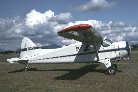
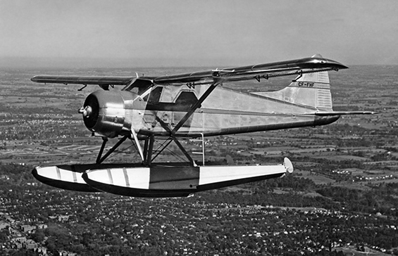
• CF-FHF British Columbia Pulp and Paper. Delivered 28-Sep-1948.

Accident: Lac La Hate, between Chamois Bay and Ferrari Point, British Columbia, 25-Mar-1951. On take off wing struck water. Aircraft flipped on its back in the water

• CF-FHF Gibson Bros. Contractors, Tofino, BC. Dates currently unknown.

• CF-FHF Queen Charlotte Airlines. Dates currently unknown.

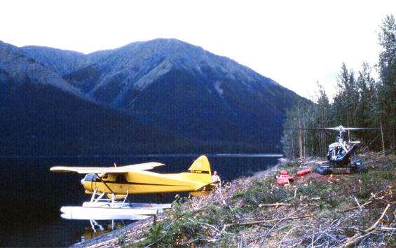
• CF-FHF Province of British Columbia, Department of Lands and Forests, Victoria, BC. Regd prior to c of a renewal dated 01-Apr-1970. Canx prior to c of a renewal date 01-Apr-1976.

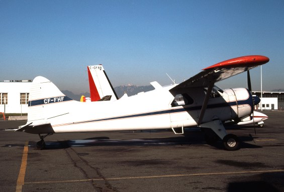
• CF-FHF British Columbia Dept. of Transport & Communications, Sidney, BC. Regd prior to c of a renewal dated 01-Apr-1976. Canx 24-Mar-1983

• C-FFHF J B Reid Logging Ltd., Richmond, BC. Regd 26-Jan-1984. Canx 27-Jun-1996

• C-FFHF Castle Rock Exploration Corp. Richmond, BC. Regd 27-Jun-1996. Canx 22-Nov-1996.

Accident: 3 km east of Portage Lake, Labrador. 30-Sep-1996. The pilot departed the Company camp at Ugly Lake, Labrador en route to Goose bay. Prior to arriving at Goose Bay the pilot contacted an over flying Air Labrador flight and advised them that he had landed on a pond and that he needed the SAR time extended on his flight plan. The pilot also said he would be departing the pond shortly, en route to Goose Bay. When C-FFHE did not arrive at the destination by the SAR time of 20:30 ADT, a search was commenced. Seven days later an oil slick and a paddle with the company name on it were identified on a pond about 66 nm north of Goose Bay. Divers located the aircraft wreckage in 120 ft. of water. The aircraft was destroyed and the bodies of the pilot and passenger were located in the wreckage. A96A0175

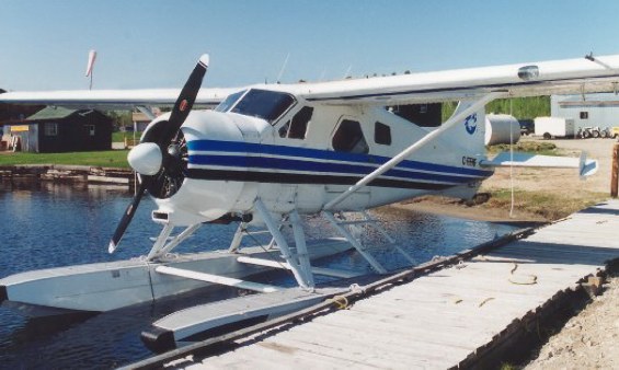
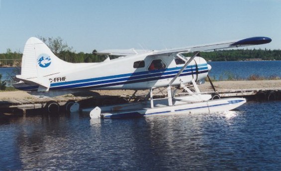
• C-FFHF Viking Air Ltd., Sidney, BC. Regd 17-Mar-2003 & 24-May-2006.

Reported as stored

An interesting note, passed along by Dave Beckett.

The photo of a yellow CF-FHF shows the Beaver tailed up at a survey camp at Germansen Lake in northern BC in the summer of 1962, while it was in the employ of the BC government. Gerry Andrews was a remarkable individual who, at the time, was Surveyor-General of British Columbia , but whose real claim to fame (and the reason for many decorations and letters after his name) was his pioneering work in the use of aerial photography for mapping. It was Gerry's mapping of the Normandy beaches that was partly responsible for the success of the D-Day invasion. He later applied these techniques in mapping BC - which is the reason the survey crew was at Germansen Lake in the first place. In order to produce maps from aerial photos you need survey control - and up until the 1950's this required pack horses and hiking. The Surveys and Mapping Branch of the BC government pioneered the use of helicopters as far back as 1951 - and FHF was another asset for moving men and supplying camps throughout BC.

Note: G. S. (Gerry) Andrews passed away in 2006, just short of his 102nd birthday.

x

An additional note from David Smith.

I believe the pilot at that time would have been Glen Lamont, one of the first pilots employed full time by the B.C. Government in the mid 1950s. Cordially, David.